Ringstead Bay — eastern naturist stretch
Ringstead, Dorset, England
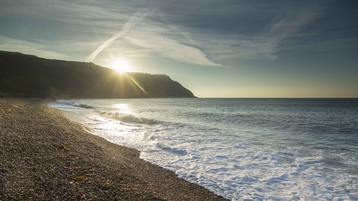
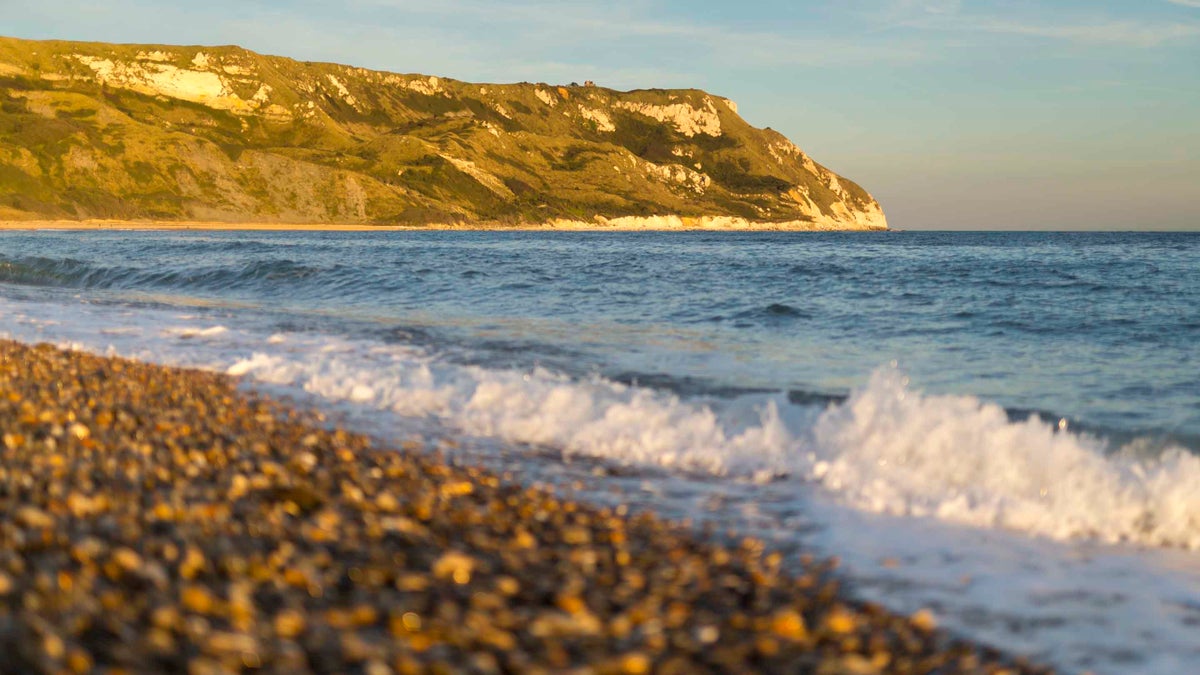


A remote eastern stretch of Ringstead’s pebble shore with customary naturist use beneath the Jurassic Coast cliffs. The long walk from the western bay rewards visitors with an open coastal outlook towards White Nothe.
Nudity policy
Customary clothing optional at eastern end
British Naturism identifies the remote eastern part of the bay, around grid reference SY763813, as used by naturists. No current formal designation was found.
The main western beach, café and approach are shared clothed spaces. Stay away from unstable cliff bases and obey any closure signs.
Facilities
No facilities on site.
No listed facilities are confirmed on the naturist stretch. Parking, toilets or refreshments on the approach are described separately below.
Access & visiting
Public shore access on foot, with no beach ticket, membership or accommodation booking required. The lower approach’s vehicle toll/parking charge is separate; the nearby campsite is not a requirement for beach access.
Age & supervision
Family eligibility is based on the primary visitor guidance for ordinary public shoreline use, with no separate adult-only admission system identified. No numerical minimum age is published. Adults should supervise children and assess tides, terrain and access conditions; customary naturist use does not establish formal designation or extend to every part of the coast.
Age policy sourceWhen to go
Open coast; weather, tides and local restrictions affect access. Naturist use is most likely during warmer months.
Directions & Parking
Getting there
Turn off the A353 through Upton towards Ringstead. Follow signs down to Ringstead and Reef Café, DT2 8NG, for the lower western beach approach, rather than taking the hilltop National Trust car park as a route to a cliff descent.
Parking
Use the lower car park beside Reef Café, reached on the toll road. The operator confirms paid parking and toilets here; check its current charges, hours and seasonal café opening. This is not the National Trust car park above Southdown Farm and these facilities are not on the remote naturist stretch.
Finding the naturist area
Walk from the lower car park to the main western beach, then turn left/east and follow the pebble shore towards White Nothe. BN describes roughly a mile of challenging shingle walking to the customary naturist end, around SY763813. Allow a generous return time and turn back if the tide, swell or a closure blocks the shore.
Where naturism applies
The naturist area is at the quieter eastern end, not the entire bay. Do not attempt the old Burning Cliff descent or continue over landslip debris or around impassable headlands. The present shoreline and warning signs take precedence over older route accounts.
- The National Trust warns of unpredictable rockfalls: keep well clear of cliff bases and edges and do not climb fallen material.
- Check tides before starting; rising water can close the return route or force walkers towards the cliffs.
- There are no lifeguards. Pebbles make this a demanding walk, with no confirmed facilities at the naturist end.
Access guidance checked 2026-11-11. Follow current signs and any instructions from the venue or land manager.
Sources & last check
Location, facilities and nudity policy checked against these sources on . This is a desk check, not an on-site inspection.
- British Naturism — eastern customary section and alternative western shore approach
- National Trust — current bay access, map reference and distinction between the two car parks
- Reef Café — lower parking, toll, toilets and seasonal opening
- National Trust — Ringstead tides, unstable cliffs and beach safety
From other visitors
Loading comments…
Your comments
Been here? Share your experience, a useful tip or a detail that could help the next person.
Manage comments